
təmtəmíxʷtən/Belcarra Regional Park: a Tri-Cities giant
Short answer: təmtəmíxʷtən/Belcarra Regional Park is a 1,100-hectare Metro Vancouver regional park in Belcarra, stretching from Burrard Inlet to Sasamat Lake. Renamed in October 2021, its Tsleil-Waututh name means "biggest place for all the people."
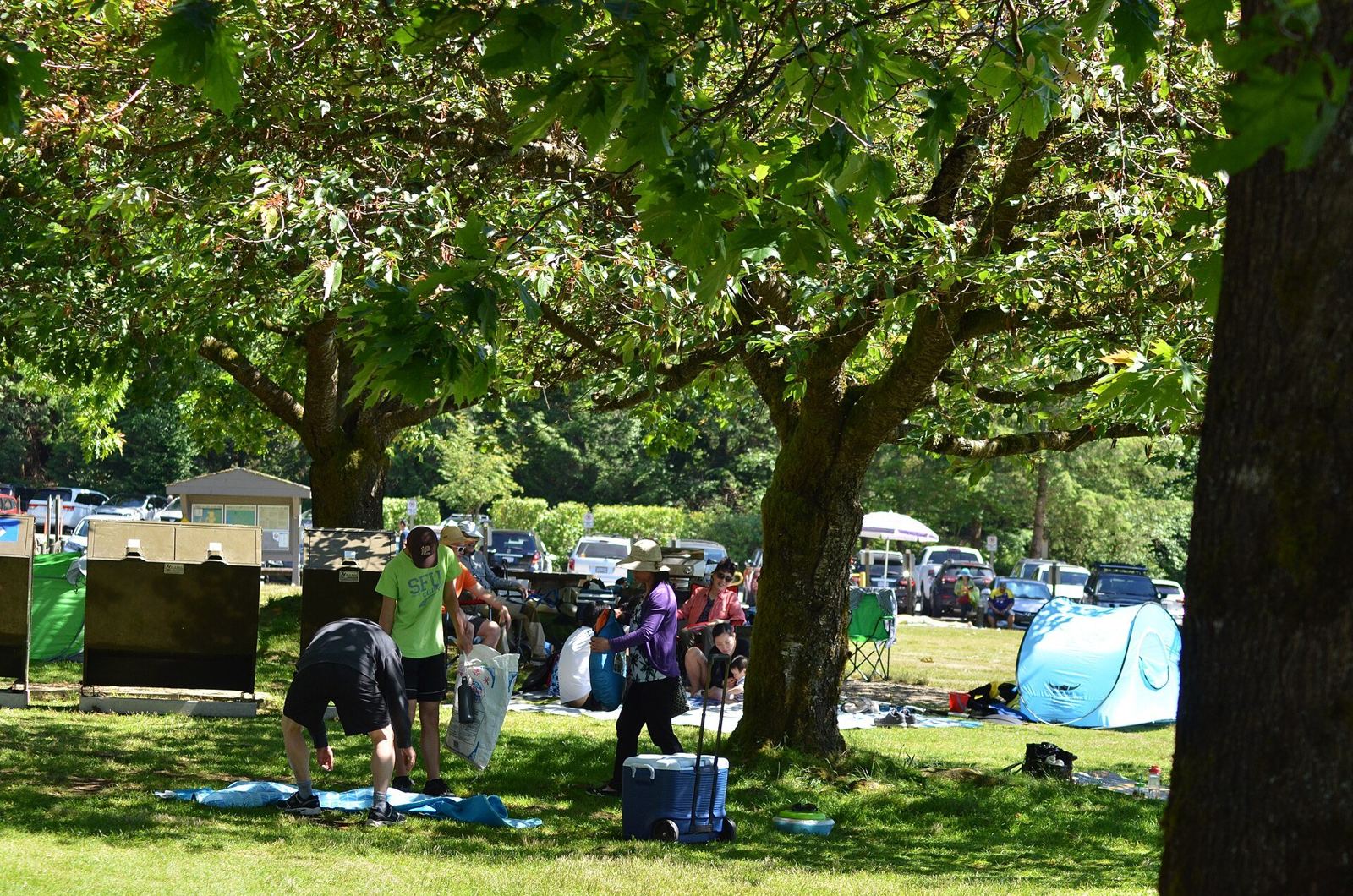
* Cover photo: Aiwize, Wikimedia Commons, CC BY-SA 4.0
The Tri-Cities' biggest park is also one of its newest, at least by name. təmtəmíxʷtən/Belcarra Regional Park covers 1,100 hectares of forest, lake and saltwater shoreline in the Village of Belcarra, and in October 2021 it was officially renamed from Belcarra Regional Park to reflect the history of the Tsleil-Waututh people, who are indigenous to the area. The name means "biggest place for all the people," and it fits: this is the park that contains Sasamat Lake, White Pine Beach, the Admiralty Point waterfront and a trail network that could fill a season of weekends.
Where it sits
The park begins near Belcarra Bay, at the point where Burrard Inlet meets Indian Arm, and extends northeast to Sasamat Lake. It sits northwest of the Village of Anmore and southwest of Buntzen Lake, forming part of the continuous block of protected land that makes the Tri-Cities' northeast corner so remarkably green. Within its 1,104 hectares are the 92 hectares of the Admiralty Point Lands, ocean waterfront on the Port Moody side.
The park also includes a First Nations archaeological site, operated and maintained by Metro Vancouver Regional Parks, a physical link to the much longer human history of this shoreline.
How the park came to be
The land's modern story is a tangle of governments. A lease signed by the federal government in 1913 gave Vancouver rights to manage the Admiralty Point lands. On July 28, 1972, those lands were redistributed to Metro Vancouver, which also came into possession of private and Crown land around Sasamat Lake and the Buntzen Ridge, each roughly 400 hectares.
When the lease ended in May 2011, management rights reverted to the Government of Canada, which at one point argued the lands were surplus and no longer warranted protection. In 2014, after negotiations with municipal leaders, the federal government agreed the park would remain protected and managed through Parks Canada. The park you walk today survived that near-miss.
The two faces of the park
Belcarra has a freshwater face and a saltwater face, and they feel like different parks.
The freshwater face is Sasamat Lake and White Pine Beach, one of the region's warmest and busiest summer swimming spots, with the lakeside trail and the floating bridge at the lake's south end.
The saltwater face runs along the inlet: the trails out toward Admiralty Point, the picnic areas near Belcarra Bay, the heritage Bole House at Belcarra South, and the view across to Jug Island, the steep-sided islet that sits just offshore. On the inlet side the water is tidal, cold and deep, the beaches are rocky rather than sandy, and the mood is quieter in every season.
Trails and seasons
The park's trails range from the flat lakeside path at Sasamat to longer forest routes over the ridge between the lake and the inlet. Spring brings the forest floor back to life; summer belongs to the beach; fall turns the maples and empties the parking lots; winter is for walkers who like their parks moody and quiet.
Belcarra is a year-round park, but the rhythm changes completely after Labour Day. October is arguably the best month to walk it: no beach traffic, low angled light through the trees, and the inlet trails almost to yourself.
Why the renaming matters
Renamings of big public places are rarely just about signage. The 2021 change put the Tsleil-Waututh name first on a landscape the Nation has been part of for countless generations, at the same moment the region was reconsidering the colonial names layered over its geography. Nearby, Colony Farm Regional Park became ƛ̓éxətəm Regional Park in 2023 through a partnership between the Kwikwetlem First Nation and Metro Vancouver. Together the two renamings mark a visible shift in how the Tri-Cities' park system tells the story of the land.
For visitors, the practical change is small: same trails, same beaches, same lots. The bigger change is the invitation built into the name itself, a park presented explicitly as a shared place with a longer history than its picnic tables.
Pairing Belcarra with the rest of the northeast corner
The park is one piece of a remarkable contiguous greenbelt. Sasamat Lake sits inside it; Buntzen Lake is just to the northeast; the inlet-side communities of Belcarra and Anmore frame its edges. An ambitious day can take in the beach in the morning, an inlet trail in the afternoon and sunset over Indian Arm, all inside a single park boundary. Few places in Metro Vancouver pack that range into one stop.
Planning a visit
Access is through Port Moody and Anmore via Ioco Road and Bedwell Bay Road. Parking lots serve the White Pine Beach area and the Belcarra Bay picnic areas. In summer, arrive early; on hot weekends the lots fill and the road slows. Dogs have their own rules in regional parks, so check Metro Vancouver's current guidance before bringing yours. And give the archaeological sites and heritage features the respect they deserve: this shoreline has been home to people for far longer than it has been a park.
FAQ
What does təmtəmíxʷtən mean?
The name, given in October 2021, means "biggest place for all the people" and reflects the history of the Tsleil-Waututh people, who are indigenous to the area.
What is inside Belcarra Regional Park?
About 1,100 hectares including Sasamat Lake and White Pine Beach, the 92-hectare Admiralty Point waterfront lands, trails, picnic areas, the heritage Bole House, views of Jug Island, and a First Nations archaeological site.
Where is the park?
In the Village of Belcarra, northeast of Port Moody, reached via Ioco Road and Bedwell Bay Road. It stretches from Belcarra Bay, where Burrard Inlet meets Indian Arm, to Sasamat Lake.
Sources
Follow Tri-Cities Daily
Daily local news, events and guides on Instagram: @tricitiesdaily
Related stories
Campbell Valley Regional Park: Langley's 29 km of trails and history
Campbell Valley Regional Park packs 29 km of trails, a historic farmstead, a schoolhouse, and even an old NASCAR oval into south Langley's largest park.
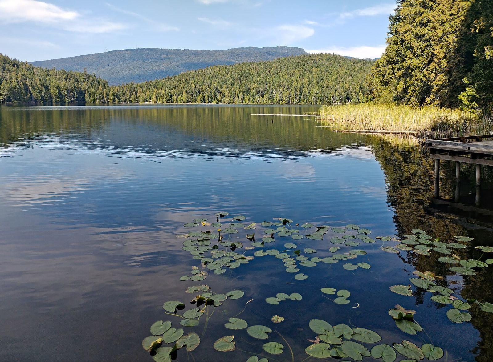
Sasamat Lake: the warm-water beach day at the edge of Port Moody
Sasamat Lake, inside Belcarra Regional Park, is one of Greater Vancouver's warmest swimming lakes, with White Pine Beach and a floating bridge at the south end.
Buntzen Lake: the complete Tri-Cities guide
Hours, parking passes, buses, trails and the beach at Buntzen Lake, the BC Hydro reservoir north of Port Moody that is one of the region's busiest recreation.