
Burnaby Mountain: trails, totems and the best free viewpoint nearby
Short answer: Burnaby Mountain is a 370-metre forested mountain in Burnaby overlooking Burrard Inlet, home to Simon Fraser University and the Burnaby Mountain Conservation Area. Centennial Park's west-facing viewpoint, rose garden and Ainu carvings top the visit list.
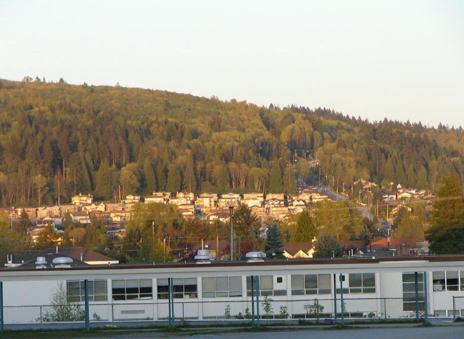
* Cover photo: Flying Penguin, Wikimedia Commons, CC BY-SA 3.0
Twenty minutes west of Coquitlam, one hill does the work of a whole viewpoint industry. Burnaby Mountain, a low, forested mountain rising 370 metres over the upper arms of Burrard Inlet, packs a university, a conservation area, a famous trail network and a sunset-facing park into one ridge, and it is the closest big-view outing to the Tri-Cities.
The mountain and what is on it
The summit area is Simon Fraser University's Burnaby campus, the Arthur Erickson-designed acropolis on the hill, alongside the Discovery Park research community, BC Hydro's system control tower and the UniverCity residential neighbourhood. The mountain's other half is green: in November 1995, the province and SFU agreed to transfer 330 hectares of university land to the City of Burnaby for inclusion in the Burnaby Mountain Conservation Area, protecting the forest that makes the mountain worth visiting.
That forest is alive. Deer, raccoons and coyotes roam the area, black bears, sometimes mothers with cubs, visit the trails and even the backyards of Westridge, and the bird list runs from woodpeckers and northern flickers to Steller's jays, barred and great horned owls, and bald eagles over the eastern forest.
Centennial Park and the view
The mountain's signature stop is Centennial Park, whose west-facing viewpoint looks out over Burrard Inlet toward downtown Vancouver. The park draws a crowd every summer when the Celebration of Light fireworks festival fires over English Bay, visible from the westward lawns. The park also holds a formal rose garden and a collection of Ainu totem-pole-like carvings commemorating the goodwill between Burnaby and its sister city of Kushiro, Japan, one of the more unexpected cultural sights in the region.
In winter the elevation shows off: snow often falls on the mountain's higher levels while rain falls on the cities below, and Centennial Park becomes a local tobogganing hill on snow days.
The trails
Burnaby Mountain is known across the Lower Mainland for its mountain biking, with trails and obstacles for every level: the easy Sidebandit, the challenging Mel's, and two genuinely hard, steep runs in Nicoles and Gearjammer. Hikers share the conservation area's network, and on a clear fall day the forest walking, with inlet glimpses through the trees, is as good as anything this close to the city.
Two mountains, one name
A clarification that saves confusion: Burnaby Mountain's conservation area and SFU summit sit on the mountain's western and southern flanks above the inlet, while the Burnaby Mountain Golf Course operates nearer the mountain's base by Lougheed Mall on the east side. Visitors heading for the views should aim for Centennial Park and the SFU end of the ridge, not the golf course. And the mountain should not be confused with the smaller rise of the same general area in east Burnaby; locals mean the SFU mountain when they say "the mountain."
The conservation area's quiet success
The 1995 land transfer that created the conservation area is the reason a visit still feels wild. Three hundred and thirty hectares of forest, streams and trail corridor sit permanently beside a growing university town, a deal that balanced the campus expansion with protecting the mountain's green heart. The result is a place where you can finish a lecture, a shift or a SkyTrain ride and be under big second-growth trees in minutes, with barred owls calling overhead as the light fades over the inlet.
Making an evening of it
The highest-value visit is timed for the evening. Walk a conservation-area loop in the late afternoon, browse the rose garden while it still has light, then join the small, friendly crowd that gathers at the viewpoint for sunset. When the Celebration of Light fireworks run in summer, arrive well before showtime, since the west-facing lawns fill with blankets and thermoses. In every other season, the sunset show is free, uncrowded and nightly.
Visiting from the Tri-Cities
From Coquitlam or Port Moody, the mountain is a straight shot down Barnet Highway or via Gaglardi Way, twenty minutes in light traffic. Transit riders can take the SkyTrain toward Production Way-University and transfer to the buses that climb to the SFU campus. The classic visit is simple: a conservation area walk, the rose garden and carvings, then the viewpoint as the light drops. Bring a jacket; the hilltop weather is a notch cooler and wetter than the lowlands, with the summit averaging around 2,000 millimetres of precipitation a year.
A ridge with a long view
Stand at the Centennial Park viewpoint and the geography of the whole region lays itself out: the inlet below, the working port, the downtown towers beyond, and on the clearest days the mountains of the North Shore closing the frame. It is the kind of view people drive hours for elsewhere, and here it costs nothing more than the short climb up the hill.
FAQ
How high is Burnaby Mountain?
370 metres. It overlooks the upper arms of Burrard Inlet and is home to Simon Fraser University's Burnaby campus.
What is there to do on Burnaby Mountain?
Walk the Burnaby Mountain Conservation Area trails, visit Centennial Park's viewpoint, rose garden and Ainu carvings, and ride the mountain bike trails, from the easy Sidebandit to the steep Nicoles and Gearjammer.
Does it snow on Burnaby Mountain?
Yes. Because of its elevation, snow often falls on the mountain while rain falls in the surrounding cities, and Centennial Park becomes a popular tobogganing spot on snow days.
Sources
Follow Tri-Cities Daily
Daily local news, events and guides on Instagram: @tricitiesdaily
Related stories
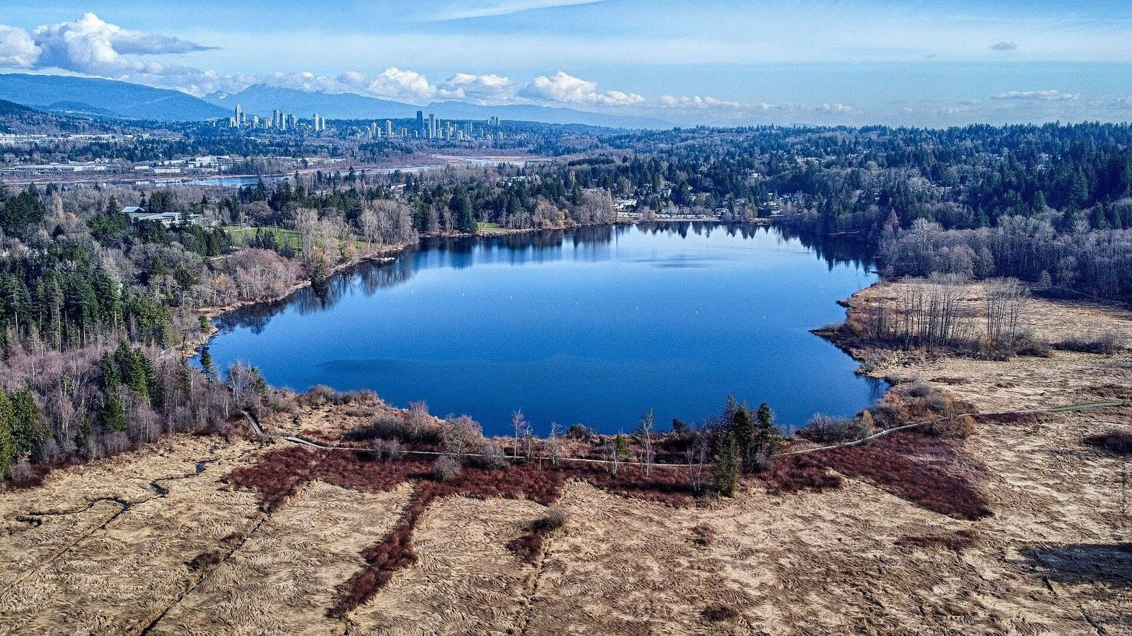
Deer Lake Park: Burnaby's cultural lake near the Tri-Cities
Deer Lake Park pairs easy lakeside trails with the Burnaby Village Museum, art gallery and Shadbolt Centre. Summer boats, a carousel and no motors.
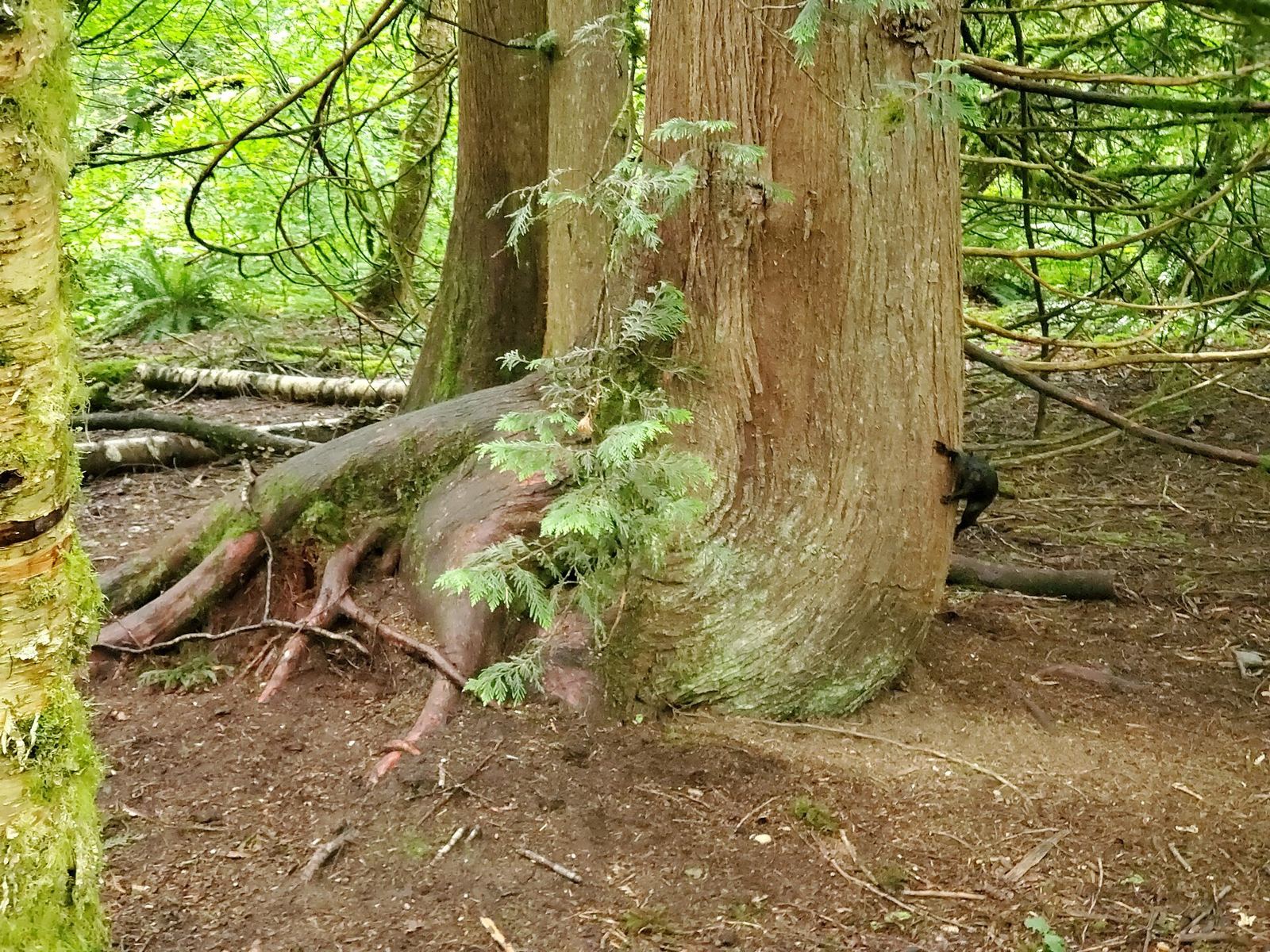
Campbell Valley Regional Park: Langley's 29 km of trails and history
Campbell Valley Regional Park packs 29 km of trails, a historic farmstead, a schoolhouse, and even an old NASCAR oval into south Langley's largest park.
Coquitlam Crunch: the city's outdoor stair-climbing gym
The Coquitlam Crunch is a 2.2-kilometre uphill trail with 242 metres of elevation gain and 894 stairs. Access points, parking and how to do the workout.