
Pitt Lake: the tidal fjord lake at the Tri-Cities' back door
Short answer: Pitt Lake is a 53.5-square-kilometre fjord lake north of Pitt Meadows, one of the world's few tidal lakes, with an average three-foot tide range. It sits in a glacial valley between Pinecone Burke and Golden Ears provincial parks, 40 km east of Vancouver.
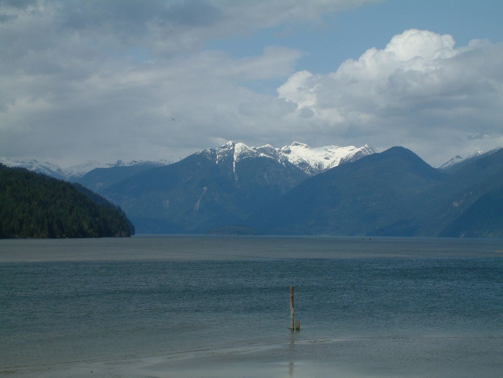
* Cover photo: Jonathan Rodgers, Wikimedia Commons, CC BY-SA 4.0
The Tri-Cities' wildest neighbour is a lake that behaves like the ocean. Pitt Lake, just up the Pitt River from Pitt Meadows, is the second-largest lake in the Lower Mainland, and one of the relatively few tidal lakes in the world. It is close enough for an after-work paddle and wild enough to feel like genuine backcountry.
The numbers
Pitt Lake covers about 53.5 square kilometres, runs roughly 24 kilometres long and up to 4.5 kilometres wide, and reaches 150 metres deep. Its southern tip is 20 kilometres upstream from where the Pitt River joins the Fraser, and about 40 kilometres east of downtown Vancouver. The north end of the lake holds the locality of Alvin, a working transport point for logging operations.
The lake's quirk is its tide. Pitt Lake sits in a valley whose lower end was deepened far below sea level by glaciation. A saltwater fjord filled the basin as the ice retreated around 13,000 years ago, and sediment from the lower Fraser River partly cut the basin off from tidal waters about 10,500 years ago. The result is a tidal fjord lake: on average the lake sees a three-foot tide range, so for most hours of the day it sits apart from the sea-level waters of the Pitt River and the Strait of Georgia estuary downstream.
The parks around it
The lake is flanked by serious wilderness. The western shore lies within Pinecone Burke Provincial Park, while most of the eastern shore is protected within Golden Ears Provincial Park. Pitt Lake is second in size only to Harrison Lake among the north-south fjord lakes that cut into the southern slopes of the Pacific Ranges, a family that includes nearby Coquitlam Lake, Alouette Lake and Stave Lake.
At the lake's southern end spreads the Pitt Polder, an extensive marshland. Most of the polder has been drained for agriculture, but the northernmost portion is strictly protected as critical habitat for migratory birds. The communities at the south end are Pitt Meadows itself and the Katzie First Nation's Pitt Lake Indian Reserve 4, and Port Coquitlam sits just across the Pitt River to the southwest.
Getting on the water
Most visitors experience Pitt Lake by boat. Paddlers launch near the south end and work the shoreline and the lower river channels, while powerboats and fishing boats run the length of the lake toward Alvin and the river inflow. This is a big, cold, mountain lake: weather builds fast in the fjord valley, the water stays cold even in summer, and wind against tide in the lower river can turn an easy paddle into work. Boat accordingly, with immersion gear and an eye on the forecast.
Fishing has long been part of the lake's draw, and the marshlands of the polder make the south end prime birding territory in migration season.
The Katzie's waterway
Long before polders and paddlers, this was, and remains, Katzie country. The Katzie First Nation's reserve at the lake's south end marks a relationship with these waters measured in millennia, not centuries. The lake, the Pitt River and the marsh supported fishing, hunting and travel routes that made this valley a thoroughfare long before it was a recreation spot. Any visit today moves through that living history, and the protected marsh at the polder's north end exists partly so that the habitat the waterway depends on survives intact for the generations of birds, fish and people still to come.
A working, living lake
Pitt Lake is not a manicured destination, and that is its character. Logging traffic still works out of Alvin at the north end. Fishers work the river inflow. The polder farms at the south end grow cranberries and blueberries behind their dikes, continuing the agricultural use that reshaped the marsh a century ago. The Katzie First Nation has been part of this waterway far longer than any of that, and the lake, river and marsh remain bound up with Katzie life and stewardship.
For Tri-Cities residents, the practical takeaway is simple: one of the most dramatic landscapes in the region starts where Pitt Meadows ends. An evening paddle on the lower lake, with Golden Ears glowing ahead and the polder birds behind, is about as much scenery as a two-hour window can hold anywhere in Metro Vancouver.
When to go
Summer offers the calmest water and the longest days, but the lake's drama peaks in the shoulder seasons, when fresh snow lines the surrounding peaks and the valley light goes silver. Winter is for the prepared: the climate is oceanic, with cool, rainy winters and annual precipitation around 2,155 millimetres at the polder. Whenever you go, give the Katzie reserve lands and the protected marsh the respect they are owed.
FAQ
Why is Pitt Lake called a tidal lake?
Its glacially deepened basin was once a saltwater fjord. Sediment from the Fraser partly cut it off from the sea, but the lake still feels an average three-foot tide range, making it one of the world's few tidal lakes.
How big is Pitt Lake?
About 53.5 square kilometres, roughly 24 kilometres long and up to 150 metres deep, the second-largest lake in the Lower Mainland after Harrison Lake.
Where is Pitt Lake?
North of Pitt Meadows, about 40 kilometres east of downtown Vancouver, between Pinecone Burke and Golden Ears provincial parks. Port Coquitlam is just across the Pitt River.
Sources
Follow Tri-Cities Daily
Daily local news, events and guides on Instagram: @tricitiesdaily
Related stories
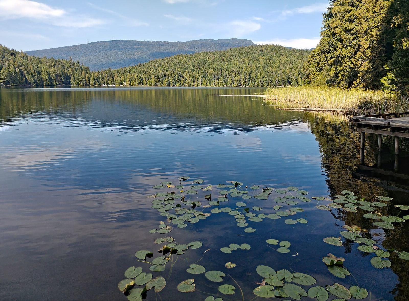
Sasamat Lake: the warm-water beach day at the edge of Port Moody
Sasamat Lake, inside Belcarra Regional Park, is one of Greater Vancouver's warmest swimming lakes, with White Pine Beach and a floating bridge at the south end.
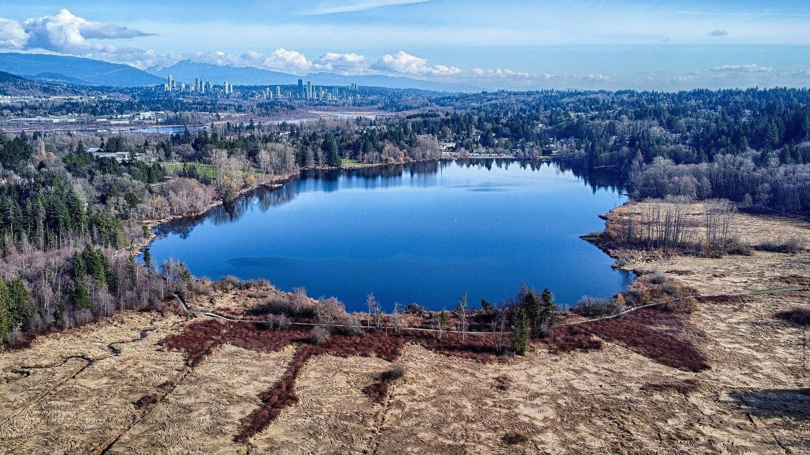
Deer Lake Park: Burnaby's cultural lake near the Tri-Cities
Deer Lake Park pairs easy lakeside trails with the Burnaby Village Museum, art gallery and Shadbolt Centre. Summer boats, a carousel and no motors.
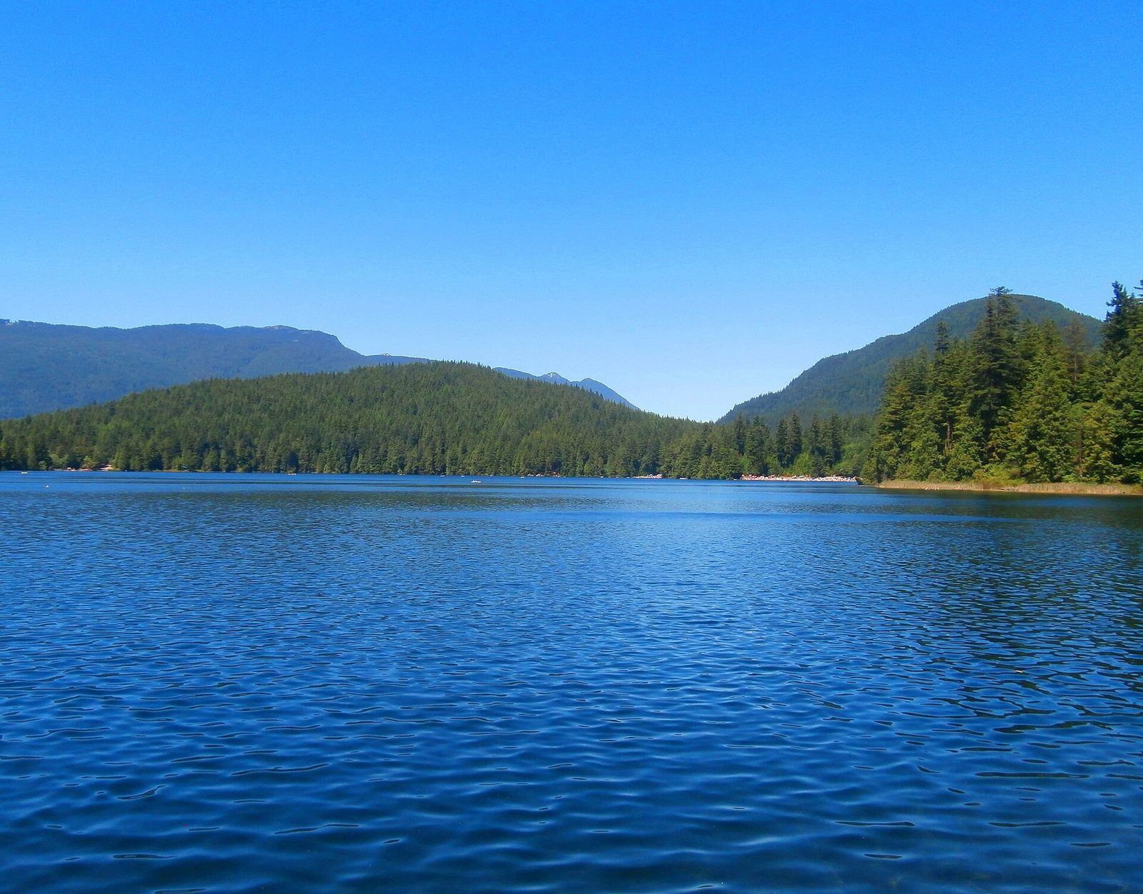
Buntzen Lake: the complete Tri-Cities guide
Hours, parking passes, buses, trails and the beach at Buntzen Lake, the BC Hydro reservoir north of Port Moody that is one of the region's busiest recreation.