
Golden Ears Provincial Park: the Tri-Cities' mountain playground
Short answer: Golden Ears Provincial Park is a 556-square-kilometre BC provincial park near Maple Ridge, named for the 1,716-metre twin peaks of Mount Blanshard. Split from Garibaldi Park in 1967, it drew over 950,000 visitors in 2017-18 for its trails, Alouette Lake beaches and camping.
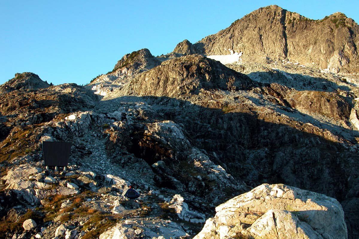
* Cover photo: Joel Diakow, Wikimedia Commons, CC BY 2.5
The Tri-Cities' idea of "the mountains" mostly means one place: Golden Ears. The provincial park past Maple Ridge covers about 556 square kilometres of peaks, valleys and lakeshore, and it is close enough that Coquitlam residents can be on a trailhead forty minutes after deciding to go.
The park in brief
Golden Ears is named for the prominent twin peaks commonly called Golden Ears, officially Mount Blanshard, which rise to 1,716 metres and dominate the skyline from across the Fraser Valley. The park was originally part of Garibaldi Provincial Park, established in 1927, and was split off as its own park in 1967. The area was logged extensively in the 1920s by the Lougheed and Abernathy Logging Company, and the second-growth forest that followed now hides much of that history.
The park's scale shows in the visitor numbers: in 2017-18 it recorded 956,515 visits, making it one of the busiest provincial parks in British Columbia. It is also a protected area containing many endangered species of flora and fauna.
First Nations territory
The park sits within the traditional territory of Coast Salish peoples, including the Katzie, Kwantlen, Matsqui, Sts'ailes, Tsawwassen, Sto:lo, In-SHUCK-ch and St'at'imc/Lillooet nations. The Katzie traditionally hunted and fished the southern and western sections, and several sites of cultural importance to the Katzie lie within the park. Archaeological work shows fishing around Alouette Lake going back several thousand years, with five Pacific salmon species, steelhead, sturgeon and trout historically harvested from the lake and river.
Alouette Lake
For most visitors, Golden Ears means Alouette Lake. The big reservoir near the park's south end is the region's summer lake: beaches, swimming, paddling, and boat access, with the mountains rising straight from the far shore. On July weekends the day-use lots fill early, and BC Parks now manages peak-season access with day-use passes in the busiest periods, so check the park page before a summer Saturday.
The trails
Golden Ears has a trail for every level. The lower trails around Alouette Lake and the Gold Creek valley are gentle forest walking. The serious objectives climb high: the trail to Alder Flats and the Golden Ears summit is one of the Lower Mainland's classic big day hikes, gaining the better part of 1,500 metres to the emergency shelter and the peaks beyond. Waterfalls, old-growth pockets in the upper valleys, and backcountry campsites fill in the map between the two extremes.
The valleys beyond the beach
Most of Golden Ears' 950,000-odd annual visitors never leave the Alouette Lake corridor, which means the rest of the park's 556 square kilometres stays genuinely wild. The Gold Creek valley leads past falls and into subalpine country. The East Canyon trail follows the creek upstream through big cedar-hemlock forest. And the high country between the Golden Ears and the surrounding ridges is the domain of overnight backpackers, mountain goats and the occasional black bear working the berry slopes.
That backcountry is real wilderness with real consequences: weather changes fast at elevation, the summit trail is a full-day commitment, and people get into trouble here every season. The lower valleys, though, offer wilderness character on a beginner's terms, which is the park's particular gift to the Tri-Cities: genuine mountain country without a long drive or a hard approach.
Seasons in the park
Summer is lake season, busy and bright. Fall turns the bigleaf maples along Gold Creek and empties the campgrounds. Winter closes the higher trails under snow but leaves the valley-bottom walks open for the hardy. Spring brings the creeks up with snowmelt and the first wildflowers to the lower slopes. There is no off-season, only different parks wearing the same name. Whatever the season, the twin peaks set the terms: this is the mountains' front door, and it happens to be ours, right up the highway.
Camping
The park is one of the region's major camping destinations, with vehicle-accessible campgrounds near Alouette Lake and backcountry sites deeper in. Summer weekends book out far in advance through BC Parks' reservation system; shoulder-season camping is quieter and often available closer to the date.
Visiting from the Tri-Cities
Take Lougheed Highway east through Pitt Meadows to Maple Ridge, then follow the signs up through the park's entrance to Alouette Lake, roughly forty to fifty minutes from Coquitlam. Cell service fades quickly inside the park. Bring what you need, respect that this is bear country, and give yourself the whole day: Golden Ears rewards the visitor who treats it as a destination, not a detour. The first view of the peaks from the park road usually settles the question of whether the drive was worth it.
FAQ
Where is Golden Ears Provincial Park?
Northeast of Maple Ridge, about forty to fifty minutes from the Tri-Cities via Lougheed Highway. The main access leads to Alouette Lake.
How high are the Golden Ears?
The twin peaks, officially Mount Blanshard, reach 1,716 metres and give the park its name.
Do I need a pass for Golden Ears?
BC Parks has used day-use passes to manage peak summer access at the park. Check the BC Parks website for current requirements before visiting, especially on summer weekends.
Sources
Follow Tri-Cities Daily
Daily local news, events and guides on Instagram: @tricitiesdaily
Related stories
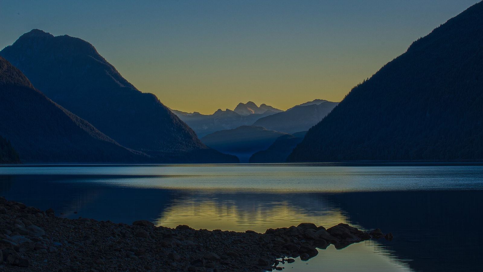
Alouette Lake guide: Maple Ridge's mountain reservoir
Alouette Lake stretches 16 km beneath the Golden Ears, was renamed in 1914, and hides a dam-and-tunnel power story. Beaches, paddling, and history.
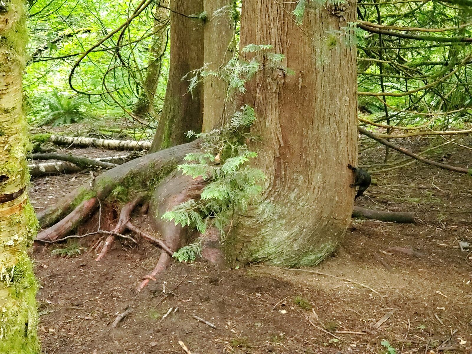
Campbell Valley Regional Park: Langley's 29 km of trails and history
Campbell Valley Regional Park packs 29 km of trails, a historic farmstead, a schoolhouse, and even an old NASCAR oval into south Langley's largest park.
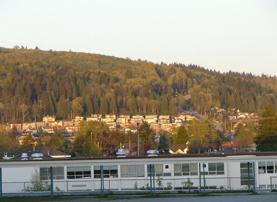
Burnaby Mountain: trails, totems and the best free viewpoint nearby
Burnaby Mountain rises 370 metres over Burrard Inlet, with SFU, conservation-area trails, mountain bike runs and a sunset viewpoint at Centennial Park.