
Kanaka Creek: Maple Ridge's salmon park and falls
Short answer: Kanaka Creek Regional Park is a 400-hectare linear park in Maple Ridge, following 11 km of Kanaka Creek from the Fraser River to Cliff Falls. It is known for its salmon runs, the Bell-Irving Hatchery, riverfront viewing towers, and forest trails.
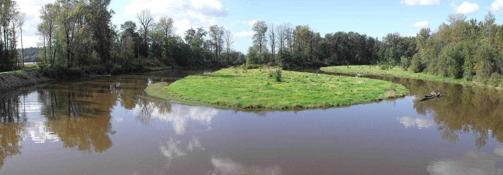
* Cover photo: Kiwibirdman, Wikimedia Commons, CC BY 3.0
Kanaka Creek Regional Park is Maple Ridge's wild spine: a 400-hectare corridor of forest, canyon, and riverfront following Kanaka Creek for roughly 11 kilometres from its mouth at the Fraser River up to the waterfalls below Webster's Corners. In 2022 it drew 610,500 visitors, making it the eighth most popular regional park in Metro Vancouver, and every fall it stages one of the region's great free spectacles: the return of the salmon.
Three parks in one
The park's linear shape gives it three distinct characters. The Riverfront area, beside the Fraser and Highway 7, has picnic tables, a boat launch suited to canoes and kayaks, and the Riverfront Trail with its three-storey wooden viewing towers over the slow lower creek. Paddlers can navigate upstream as far as the 240th Street bridge before the water turns shallow and snag-filled.
The middle reach holds the park's most famous spot: Cliff Falls, where a popular swimming hole and slickrock slides draw summer crowds, with twin falls on the creek's upper forks. The upper reach, heavily forested, offers hiking along the creek bed on established wooden walkways, plus the Bell-Irving Hatchery near the park's top end.
Salmon and bears
Kanaka Creek is serious salmon water. Chum, pink, and coho all run the creek, and the Bell-Irving Hatchery, operated with the Kanaka Education and Environmental Partnership Society, known as KEEPS, raises and releases salmon while teaching the public about the watershed. KEEPS hosts free community events including the annual Return of the Salmon day, one of the best fall family outings in the Fraser Valley.
Where salmon go, wildlife follows. Black bears regularly work the creek corridor, which links the Fraser River to mature upland forest, and the park's mammal list includes cougar, bobcat, coyote, red fox, deer, and river otter. Birders have recorded more than 130 species in the park. The creek is designated sensitive habitat under BC's Fish Protection Act, and species at risk found here include the northern red-legged frog, the coastal tailed frog, and the extremely rare Pacific water shrew.
A name from Hawaii
The park's name surprises most visitors. Kanaka comes from the Hawaiian and Pacific Islander families who lived and worked along the creek in the 1850s; kanaka is Hawaiian for worker. The land itself is the historic and unceded territory of the Katzie, Kwantlen, Matsqui, Musqueam, Semiahmoo, and Tsleil-Waututh peoples, with more than nine thousand years of use embedded in the landscape.
The modern park took shape from the late 1970s, when Maple Ridge began buying private properties along the creek. A 1981 agreement protected as much of the watershed as possible while uprooting as few residents as possible, producing the park's long, thin shape. The final land purchase came in 1993, and a 20-year management plan, created with the Katzie First Nation and other partners, has guided the park since 2004, including restoration work by the University of Victoria completed in 2022.
Visiting from the Tri-Cities
Kanaka Creek is about 30 to 40 minutes from Coquitlam via the Pitt River or Golden Ears bridges. For a first visit, start at the Riverfront area off Highway 7 for the towers and picnic sites, or head straight to Cliff Falls in summer. Fall belongs to the salmon: the hatchery and the lower creek fills with spawning fish from October onward. The park is wheelchair accessible in main areas, with parking and washrooms.
A park under pressure, and the plan to save it
Kanaka Creek's popularity and its urban setting bring real strain. Logging by the Abernethy and Lougheed Lumber Company in the 1920s stripped much of the original old growth, damaging the watershed's hydrology, and today roughly 900 septic tanks in the watershed, plus herbicide and pesticide runoff, degrade water quality. Clay deposits near the surface block storm runoff absorption, triggering floods in the lower reaches that erode banks and flush out fish.
The response has been one of the region's most layered conservation efforts. A 2004 management plan, built by Metro Vancouver with the Katzie First Nation, KEEPS, the Alouette Field Naturalists, and the City of Maple Ridge, guides everything from trail management to native planting, including commitments to plant at least ten native species and rebuild salmonberry and snowberry cover. A 2022 University of Victoria restoration project replanted areas damaged by unauthorized trails and bike jumps and added fencing, and an Integrated Stormwater Management Plan targets the flooding.
Season by season
Spring brings the hatchery's releases and returning birdsong; summer belongs to Cliff Falls swimmers and shaded creek walks; fall is salmon season, with spawning fish in the lower creek and the Return of the Salmon celebration; winter is for quiet forest walks under bigleaf maples and Douglas fir. Few parks this close to the Tri-Cities change so much through the year.
* Cover photo: Kiwibirdman, Wikimedia Commons, CC BY 3.0
FAQ
Can you swim at Kanaka Creek?
Yes, at Cliff Falls, where a popular swimming hole and smooth rock slides draw summer visitors. Use caution: rocks are slippery and currents change with rain.
When is the salmon run at Kanaka Creek?
Chum, pink, and coho move up the creek through the fall, with October typically the peak viewing month. The Bell-Irving Hatchery and KEEPS host free events including Return of the Salmon day.
Why is it called Kanaka Creek?
The name comes from the Hawaiian and Pacific Islander workers and families who lived along the creek in the 1850s. Kanaka is the Hawaiian word for worker.
Sources
Follow Tri-Cities Daily
Daily local news, events and guides on Instagram: @tricitiesdaily
Related stories
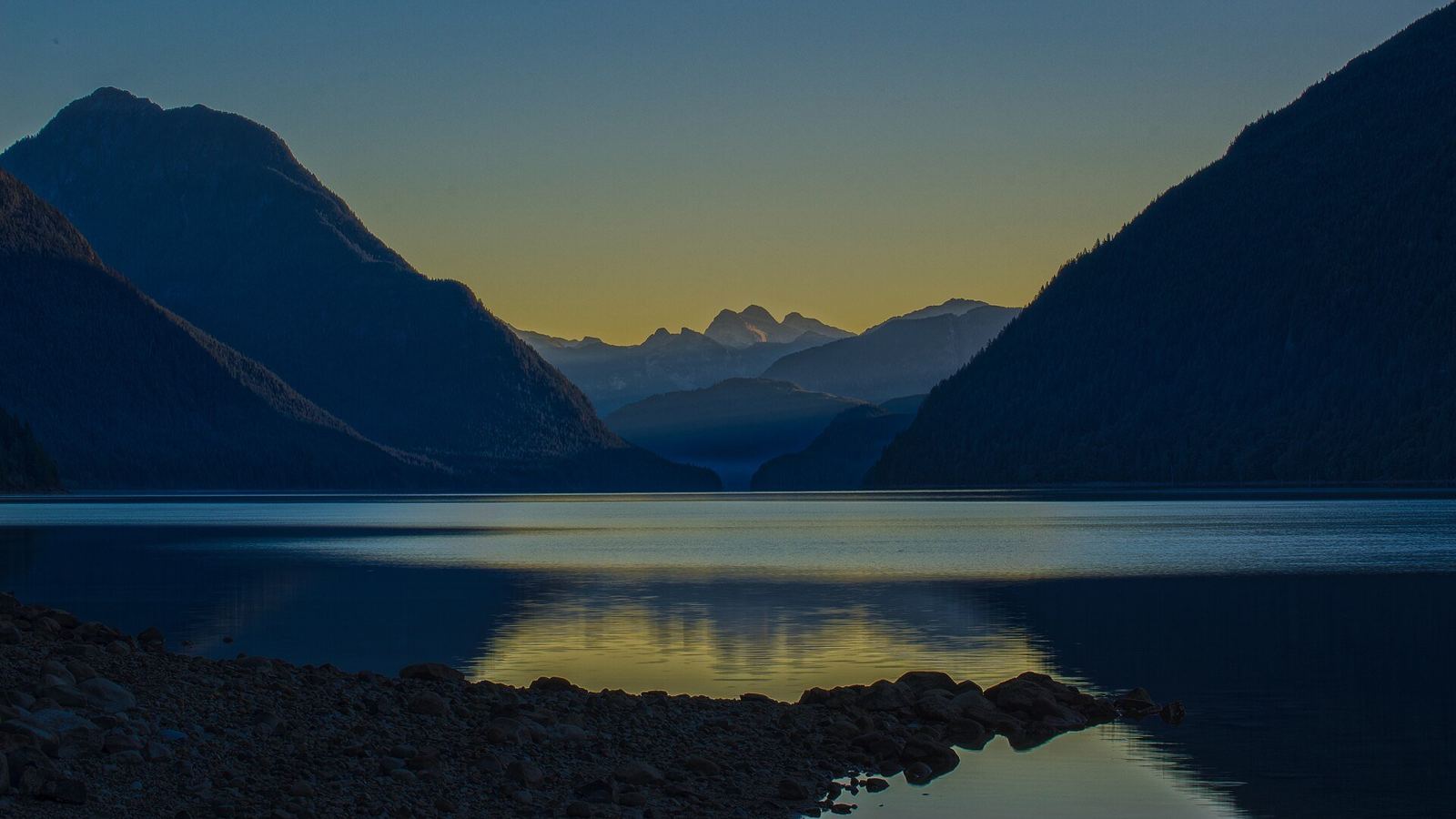
Alouette Lake guide: Maple Ridge's mountain reservoir
Alouette Lake stretches 16 km beneath the Golden Ears, was renamed in 1914, and hides a dam-and-tunnel power story. Beaches, paddling, and history.
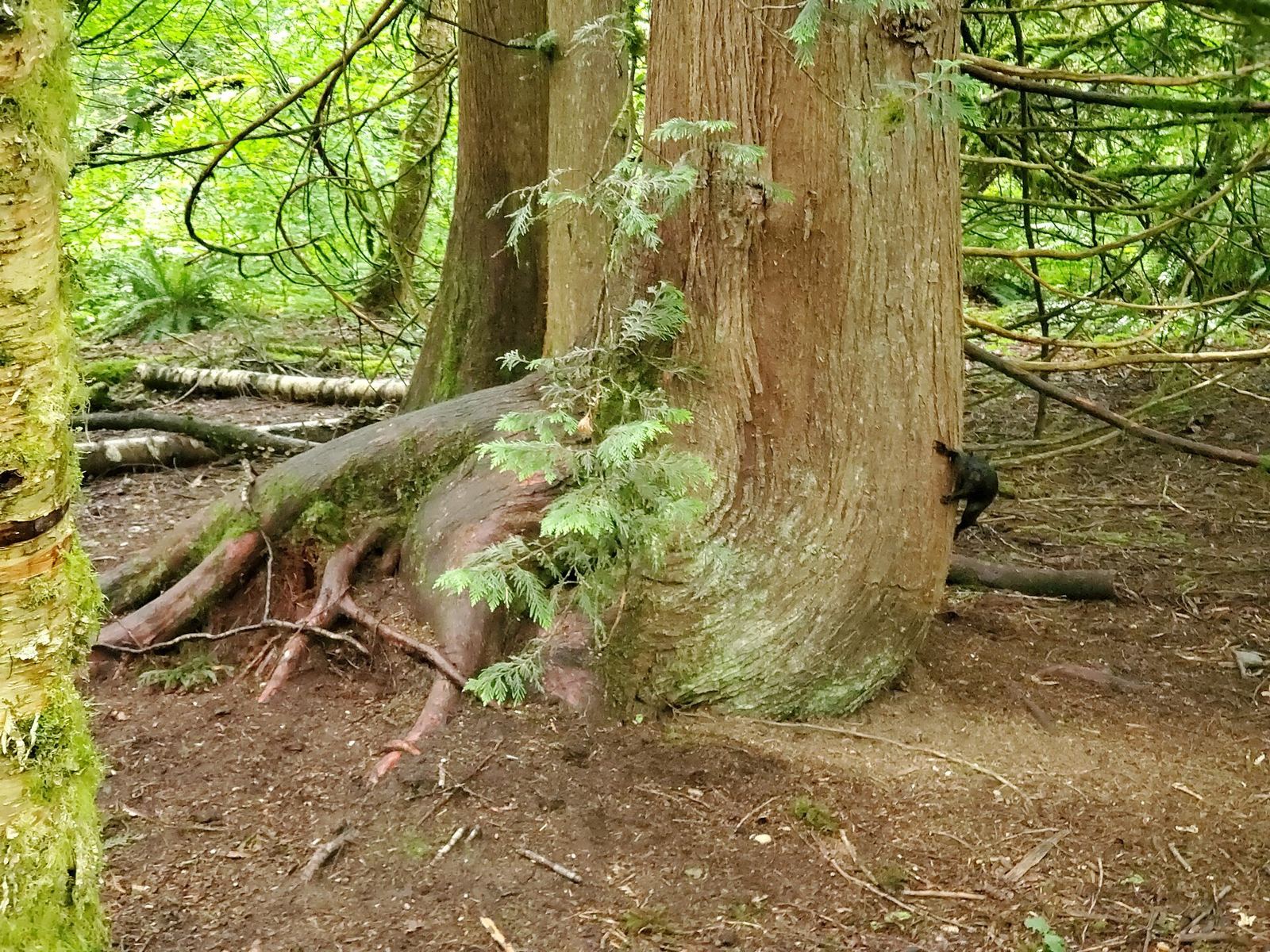
Campbell Valley Regional Park: Langley's 29 km of trails and history
Campbell Valley Regional Park packs 29 km of trails, a historic farmstead, a schoolhouse, and even an old NASCAR oval into south Langley's largest park.
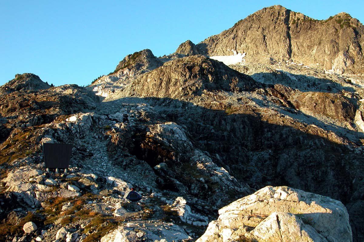
Golden Ears Provincial Park: the Tri-Cities' mountain playground
Golden Ears Provincial Park, past Maple Ridge, is one of BC's busiest provincial parks: 556 square kilometres of peaks, Alouette Lake, trails and camping.