
Pitt Meadows: dykes, blueberries, and 110 years between two rivers
Short answer: Pitt Meadows is a small city between the Pitt and Fraser rivers, incorporated in 1914 and named for British prime minister William Pitt the Younger. Now home to about 19,500 people, it is known for berry farms, dyke trails, and its heritage museum in the 1886 General Store.
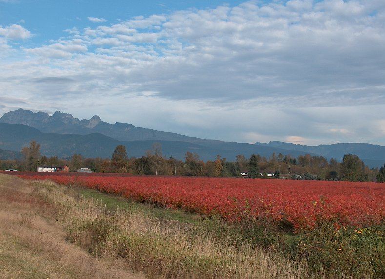
* Cover photo: Quant08, Wikimedia Commons, CC BY-SA 3.0
Ten minutes past the Pitt River Bridge sits a city many Tri-Cities residents drive through without stopping. Pitt Meadows is worth the stop: a flat, river-framed community of about 19,500 people where working blueberry and cranberry farms sit minutes from the big-box corridor, and the whole map is defined by the water that surrounds it.
Between two rivers
Pitt Meadows takes its name from the Pitt River and Pitt Lake, both named, like the settlement, for British prime minister William Pitt the Younger. Indigenous peoples have lived in the area for approximately a thousand years. James McMillan explored the district during the Hudson's Bay Company's 1824 expedition to the Lower Fraser, and European settlement began at Bonson's Landing in the 1870s.
The Canadian Pacific Railway arrived in 1885, pushing through to Port Moody and then Vancouver. The Pitt Meadows General Store, built in 1886 and moved to its current site in 1908, held the community's first post office and first telephone; since June 1998 it has been the home of the Pitt Meadows Museum and Archives.
A city won from the flood
The land here is rich because it is floodplain, and living on it meant fighting the rivers. Local residents petitioned to leave the District of Maple Ridge in 1892, and the first dyking district was organized in 1893, only for the great Fraser River Flood of 1894 to inundate many acres that spring.
Pitt Meadows incorporated as its own municipality in 1914, a farming community of fewer than 250 people supplying Vancouver and New Westminster with produce and dairy. After 1910, French Canadian and Japanese settlers arrived in number, and after the Second World War a large group of Dutch farmers reclaimed much of the low-lying land, leaving a lasting mark on the city's agricultural culture. Another major flood hit in 1948 when a cool spring and sudden melt sent the rivers over their banks.
The second Pitt River Bridge opened in 1957, replacing the 1915 original, and gained a twin in 1978. The Pitt Meadows Regional Airport opened in 1963. The district became a member of Metro Vancouver in 1995 and incorporated as a city in 2007, celebrating its centennial in 2014.
The city today
Modern Pitt Meadows runs on two tracks: a growing commuter city along the Lougheed Highway, and one of Metro Vancouver's most productive farm belts. Berry farms, especially blueberries and cranberries, define the landscape east of the city core, and farm-gate stands sell through the season. The Heritage Preservation Area around the museum holds the old General Store and the Hoffman and Sons Garage, where Hans Hoffmann spent decades collecting and restoring stationary gasoline engines.
For visitors, the dykes are the draw. Trails along the Pitt and Fraser rivers offer flat, scenic walking and cycling with mountain views, and the city's paddlers launch onto the slow lower reaches of the Pitt River. Pitt Lake, the largest tidal lake in North America, begins at the city's edge, with the wilderness of the upper Pitt beyond.
Visiting from the Tri-Cities
Pitt Meadows is 10 to 15 minutes from Port Coquitlam over the Pitt River Bridge, or a short ride on the West Coast Express, which stops in the city on its way to Mission. A simple day trip: the museum and heritage area in the morning, a farm stand stop in season, and a dyke walk along the Pitt River in the afternoon.
Bridges and floods
Two structures explain modern Pitt Meadows as much as any building. The Pitt River Bridge, first built in 1915, replaced in 1957, and twinned in 1978, is the city's front door, the crossing that turned a farming outpost into a commutable address. And the dykes, begun with the first dyking district in 1893 and raised and extended after the floods of 1894 and 1948, are the walls that make the city possible at all. Walking the dyke trails today, you are on top of the city's founding infrastructure, and the farmland on one side and river on the other tells the whole story in a single view.
Airport and aviation
The Pitt Meadows Regional Airport, opened in 1963, is one of the busiest general aviation airports in Canada by aircraft movements, home to flight schools, floatplane operations, and skydiving. Its presence keeps aviation in the city's daily soundtrack and makes the airport viewing areas a minor attraction of their own, especially in summer when training circuits fill the sky.
A gateway to the upper Pitt
For outdoor-minded Tri-Cities residents, Pitt Meadows is also the threshold to some of the region's wildest country. The city is the last urban stop before the upper Pitt, home to the largest tidal lake in North America, the Grand Narrows, and the provincial parkland beyond. Boat launches and paddling routes start here, and the dyke trails connect into the broader regional greenway network toward Maple Ridge.
* Cover photo: Quant08, Wikimedia Commons, CC BY-SA 3.0
FAQ
How old is Pitt Meadows?
The municipality was incorporated in 1914 and marked its centennial in 2014. Indigenous peoples have lived in the area for about a thousand years, and European settlement began at Bonson's Landing in the 1870s.
What is Pitt Meadows known for?
Berry farming, especially blueberries and cranberries, plus dyke trails along the Pitt and Fraser rivers, the Pitt Meadows Regional Airport, and its heritage museum in the 1886 General Store.
Can you get to Pitt Meadows by transit?
Yes. The West Coast Express stops in Pitt Meadows on its Vancouver-to-Mission run, and buses connect the city to Coquitlam Central station and Maple Ridge.
Sources
Follow Tri-Cities Daily
Daily local news, events and guides on Instagram: @tricitiesdaily
Related stories
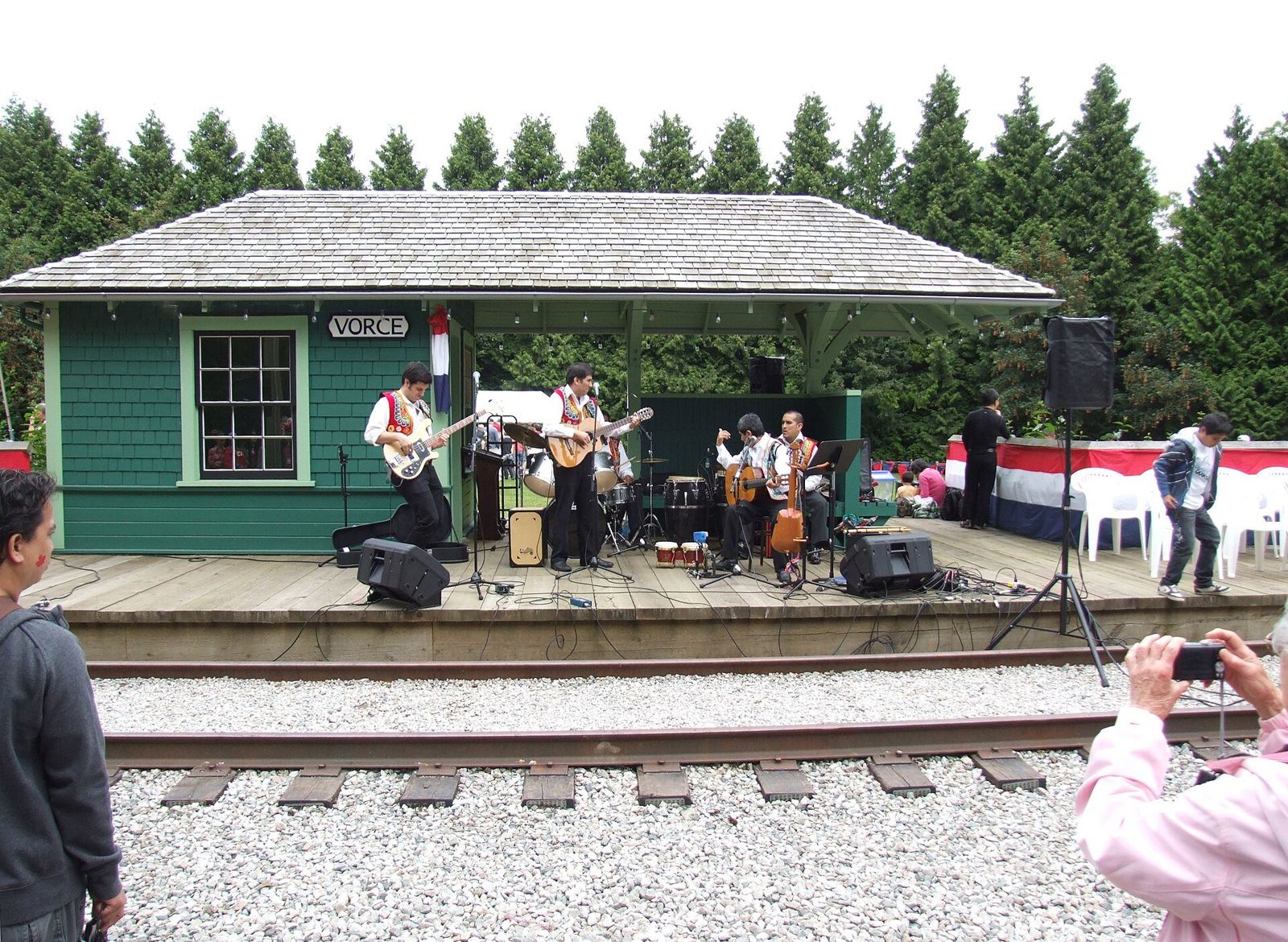
Burnaby Village Museum: the free 1920s village at Deer Lake Park
Burnaby Village Museum recreates a 1920s village with 31 buildings, a 1912 carousel, and a restored interurban tram. Admission is free, at Deer Lake Park.
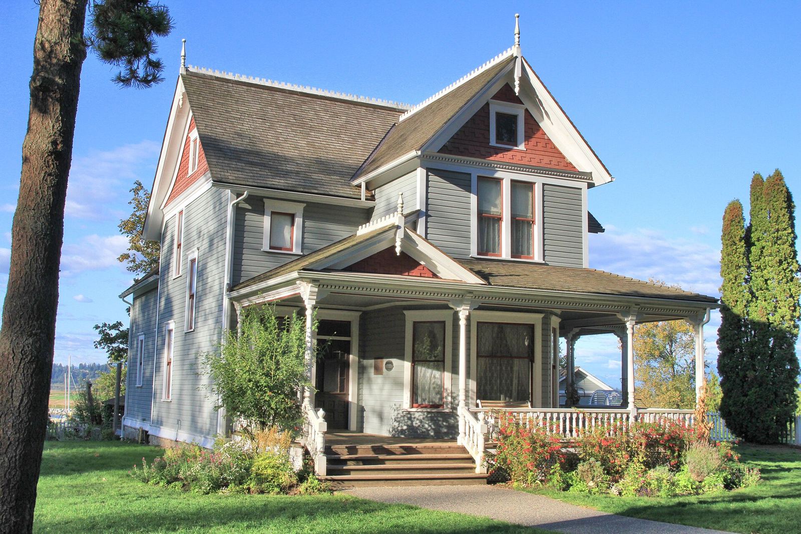
Historic Stewart Farm: Surrey's 1890s farmhouse on the Nicomekl River
Historic Stewart Farm preserves an 1890s farmhouse and 54 acres on the Nicomekl River in South Surrey, once the heart of a 440-acre family farm.
Maillardville and Festival du Bois: Coquitlam's French heart
Maillardville was founded in 1909 by French Canadian mill workers recruited to Fraser Mills. Their legacy lives on in Festival du Bois each March.