
Port Moody's Shoreline Trail: 230,000 walks a year along the inlet
Short answer: The Shoreline Trail is Port Moody's signature waterfront route, a six-kilometre round trip from Rocky Point Park to Old Orchard Park hosting over 230,000 visits a year. A paved multi-use path and a gravel walking trail run side by side, including a 440-metre boardwalk completed in September 2025.
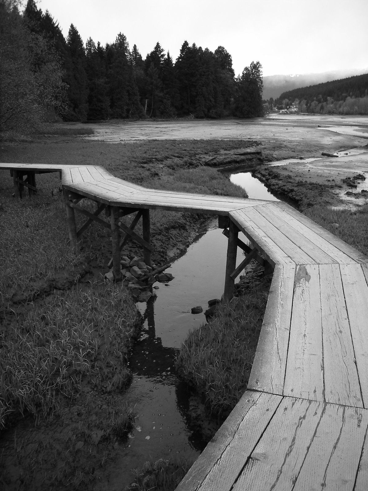
* Cover photo: gkichok, Wikimedia Commons, CC BY-SA 3.0
If one trail explains Port Moody, it is this one. The Shoreline Trail runs from the pier at Rocky Point Park along the coast of Burrard Inlet to Old Orchard Park, and the city counts more than 230,000 visits a year on it. It is where Port Moody walks the dog, pushes the stroller, runs at lunch and watches the herons at dusk.
Two trails in one
The route is actually a pair of parallel paths. The paved, accessible multi-use path carries cyclists and walkers. Closer to the water, a gravel trail is reserved for walkers and runners only, with stairs in places, and bicycles and scooters are not permitted on it. Between them, everyone gets the version of the inlet they want.
The gravel side holds the trail's best feature: a boardwalk along Pigeon Cove with water views. The newest section, 440 metres of redesigned boardwalk, was completed in September 2025, built to be inclusive and climate-resilient along one of the most popular waterfront view corridors in the city. The new structure protects a critical ecosystem area for fish, birds and other wildlife at the same time as it opens it to people. The boardwalk is wheelchair accessible, with reduced grades where it meets the paved path; riders using only the boardwalk section must dismount and walk their bikes and scooters.
The original boardwalks were built by city crews more than 30 years ago as part of the larger trail connecting Rocky Point Park to Old Orchard Park, and the wooden structures were aging, frequently covered by king tides and damaged in storm surges. The rebuild answers all of that.
The walk itself
The full trail is a six-kilometre round trip and takes about two hours on either path, with minimal elevation. It is genuinely a whole-family route: flat enough for small legs and wheeled mobility devices, scenic enough that nobody gets bored. The inlet side gives you mudflats, shorebirds and mountain views across the water; the park ends give you Rocky Point's pier and Old Orchard's beach and picnic shelter.
The city reminds visitors that the trail is not just recreation infrastructure: it is a critical ecosystem area for fish, birds, wildlife and plants, which is why the boardwalk design tiptoes over the mudflats instead of filling them.
The tides rule here
One thing first-timers learn quickly: this trail lives by the tide table. At high tide the inlet presses against the path and the mudflats drown in silver water; at low tide the flats open into a broad feeding ground for herons and shorebirds, with the boardwalk carrying you out over it all. King tides, which used to swamp the old wooden boardwalks, were a design driver for the 2025 rebuild, so the new structure rides higher and sheds storm surges better than what it replaced.
A working wildlife corridor
The 230,000 annual visits share the trail with a lot of non-human traffic. The mudflats and shoreline vegetation feed and shelter fish, birds and small mammals, and the city manages the corridor as ecosystem first in places: dogs under control, bikes on the pavement, and a boardwalk that lets people cross sensitive ground without trampling it. On a quiet morning the birding from the boardwalk rivals dedicated nature parks elsewhere in the region.
The names on the trail
In June 2026, Mayor and Council dedicated two pieces of the route to two people who built it. The Shoreline Trail Boardwalk was dedicated to Ann Hulbert, a Freedom of the City recipient who died in 2025 after advancing environmental initiatives through 21 years on City Council; she was instrumental in the decision-making and planning for the original boardwalk. The Shoreline Trail itself was dedicated to David Driscoll, also a Freedom of the City recipient, who served four terms as Port Moody's mayor and played what the city calls a fundamental and critical role in creating the trail and establishing it as a vital recreational and environmental corridor.
Making the most of it
Walk it at low tide for the full mudflat bird show, or at golden hour for the light on the water. Start at Rocky Point and you can finish with the park's amenities; start at Old Orchard and you end at Brewers Row for a post-walk reward. In either direction, two hours on the Shoreline Trail is the definitive Port Moody afternoon. And if you only have twenty minutes, the out-and-back from Rocky Point to the boardwalk and home again is the city's best short walk, bar none. Bring the dog, bring the kids, bring the camera; the inlet handles the rest, the way it has for the decades this path has been the city's front porch.
FAQ
How long is the Port Moody Shoreline Trail?
A six-kilometre round trip between Rocky Point Park and Old Orchard Park, about two hours on foot, with minimal elevation.
Can you bike the Shoreline Trail?
Yes, on the paved multi-use path. The gravel walking trail and boardwalk are for walkers and runners; riders must dismount on the boardwalk.
Is the Shoreline Trail wheelchair accessible?
The paved multi-use path is accessible, and the new 440-metre boardwalk completed in September 2025 is wheelchair accessible, with reduced grades at its entry and exit points.
Sources
Follow Tri-Cities Daily
Daily local news, events and guides on Instagram: @tricitiesdaily
Related stories
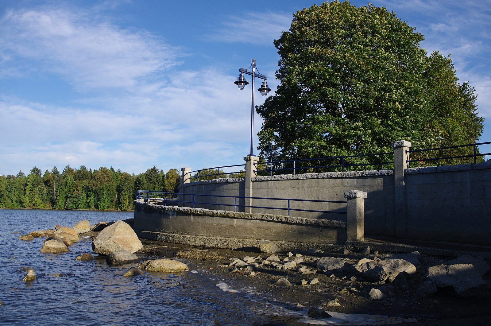
Rocky Point Park: Port Moody's waterfront playground
Pier, pool, spray park, kayak rentals and the Shoreline Trail: Rocky Point Park at 2800 Murray Street is Port Moody's best-known park. What to do and when to.
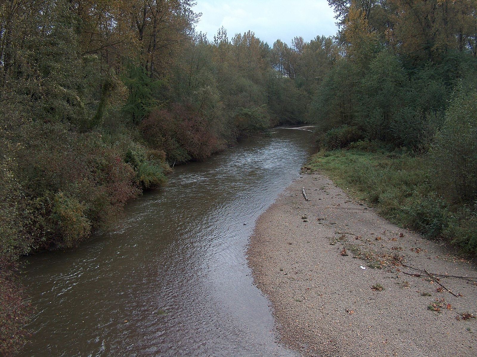
Coquitlam River: the red fish river at the heart of the Tri-Cities
The Coquitlam River runs 18 km from Coquitlam Lake to the Fraser, takes its name from sockeye salmon, and anchors the region's trails and conservation work.
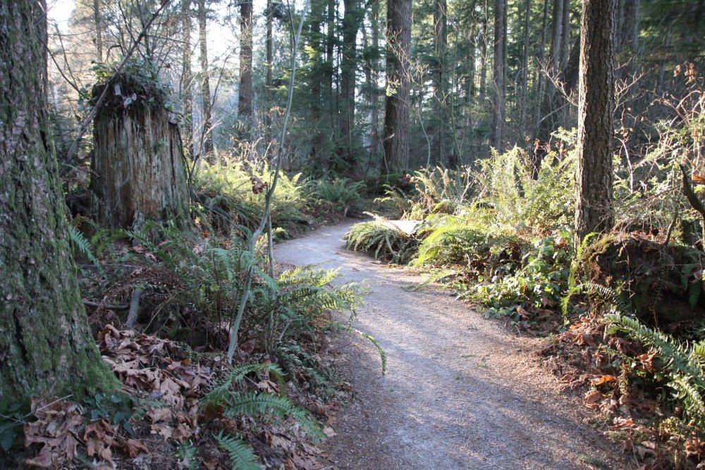
Green Timbers: the Surrey forest that taught BC how to replant
Green Timbers Urban Forest is 560 acres of replanted rainforest in Surrey, the birthplace of BC reforestation, with 10 km of trails and a trout lake.