
Traboulay PoCo Trail: the 25-kilometre loop around Port Coquitlam
Short answer: The Traboulay PoCo Trail is a flat, 25.3-kilometre loop around Port Coquitlam for walkers and cyclists, following the Coquitlam, Fraser and Pitt rivers through wetlands, farmland and forest. It began as a 1967 centennial project and is rated easy.
* Cover photo: Robert Ashworth, Wikimedia Commons, CC BY 2.0
Every city claims a signature trail. Port Coquitlam actually has one. The Traboulay PoCo Trail is a 25.3-kilometre (15.7-mile) loop that circles the entire city, stringing together the Coquitlam River, the Fraser River and the Pitt River in one continuous, mostly flat ride or walk. It is rated easy, and it is the rare urban trail that genuinely shows you a whole city in an afternoon.
What the loop is like
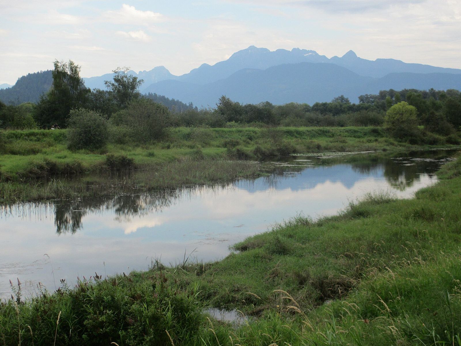
The trail's character changes as it rounds the city. Along the Coquitlam River the route runs beside fast water and gravel bars. Where the trail meets the Fraser, the views open to working riverfront and farmlands. The Pitt River stretch, with its wetlands on the west side, is the wild part: marshes, meadows and mountain backdrops that make it hard to believe you are inside city limits.
The route passes through a range of ecosystems, from creeks and forestation to open meadows and marshland, and the wildlife follows. Many bird species work the wetlands, and bears have been spotted along the trail during the salmon run, a reminder that this loop crosses genuine habitat.
A centennial project that grew
The trail began as an idea in 1967, conceived as Port Coquitlam's way of celebrating Canada's 100th birthday. Development started in the early 1970s, driven by a volunteer group that called itself the PoCo Trail Blazers. For years the trail existed in pieces.
The modern era began in 1997, when the city started improving the trail to make it a central part of the community. The work continued in the years that followed, with the trail included in the city budget for upgrades between 2015 and 2019. The result is the continuous 25.3-kilometre circuit that exists today, named for the community effort that imagined it.
Riding the full loop
Cyclists treat the PoCo Trail as one of the region's essential easy rides. The full loop at a relaxed pace, with stops for river views and a coffee downtown, takes most riders two to three hours. The flat profile makes it a genuine all-ages circuit, and it shows up on regional best-bike-routes lists for exactly that reason.
Walkers usually take it in sections rather than all at once. The Pitt River wetlands stretch is the favourite for birding and sunsets. The Coquitlam River side suits a quick after-work walk. Each section connects to parks and neighbourhoods, so it is easy to build an out-and-back of any length.
The rivers that shape it
Three rivers give the trail its personality. The Coquitlam River section feels young and quick, with views to the water where it braids over gravel. The Fraser River stretch is the working river: big, tidal and lined with the kind of industry and farmland that built the Fraser Valley. The Pitt River portion is the contemplative one, where the trail runs beside wetlands that flood and recede with the seasons and the mountains of the northeast sector fill the horizon.
That variety is the trail's quiet achievement. In a single loop, it teaches the geography of the whole city: where the water comes from, where it goes, and how the neighbourhoods fit between the rivers.
Walking it in pieces
A full 25.3 kilometres on foot is a long day, so most walkers pick a side. A sensible first outing is the Pitt River wetlands section at golden hour, when the marsh birds are active and the light comes across the water. The Coquitlam River sections are the most sheltered on a wet day. Linking a river section with a stop downtown turns the walk into an afternoon with a coffee break built in, which is how most PoCo residents actually use their loop: often, and in pieces.
Practical notes
The loop is multi-use, so cyclists and walkers share the path; standard trail etiquette keeps it friendly. Surfaces vary along the route, and after heavy rain the low sections near the rivers can be wet or temporarily flooded, a natural consequence of a trail built along three rivers. Spring high water is the season to check conditions before setting out.
Access points ring the city, so there is no single right place to start. Many people begin downtown, others join from Gates Park or the riverfront parks. However you approach it, the trail's flat grade and easy navigation make it as welcoming as a 25-kilometre trail can be.
Why it matters to PoCo
The PoCo Trail is more than recreation infrastructure. It is the connective tissue of the city's outdoor life, linking its rivers, parks and neighbourhoods into a single loop a kid can ride and a birder can study. Cities spend decades trying to create assets like this. Port Coquitlam has had one since 1967, and it keeps getting better.
FAQ
How long is the Traboulay PoCo Trail?
25.3 kilometres (15.7 miles), forming a complete loop around Port Coquitlam. It is rated easy and is mostly flat.
Is the PoCo Trail good for cycling?
Yes. The flat, continuous loop is one of the region's most popular easy rides, taking most cyclists two to three hours with stops.
Are there bears on the PoCo Trail?
Bears have been seen along the trail, especially during the salmon run. Give wildlife space and keep dogs under control.
Sources
Follow Tri-Cities Daily
Daily local news, events and guides on Instagram: @tricitiesdaily
Related stories
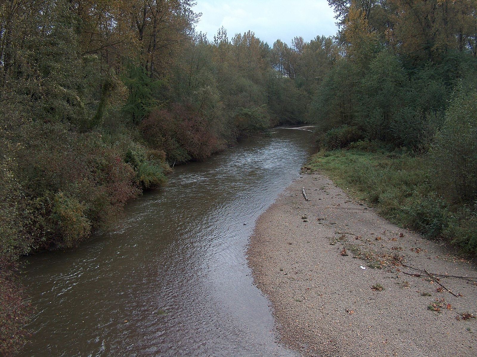
Coquitlam River: the red fish river at the heart of the Tri-Cities
The Coquitlam River runs 18 km from Coquitlam Lake to the Fraser, takes its name from sockeye salmon, and anchors the region's trails and conservation work.
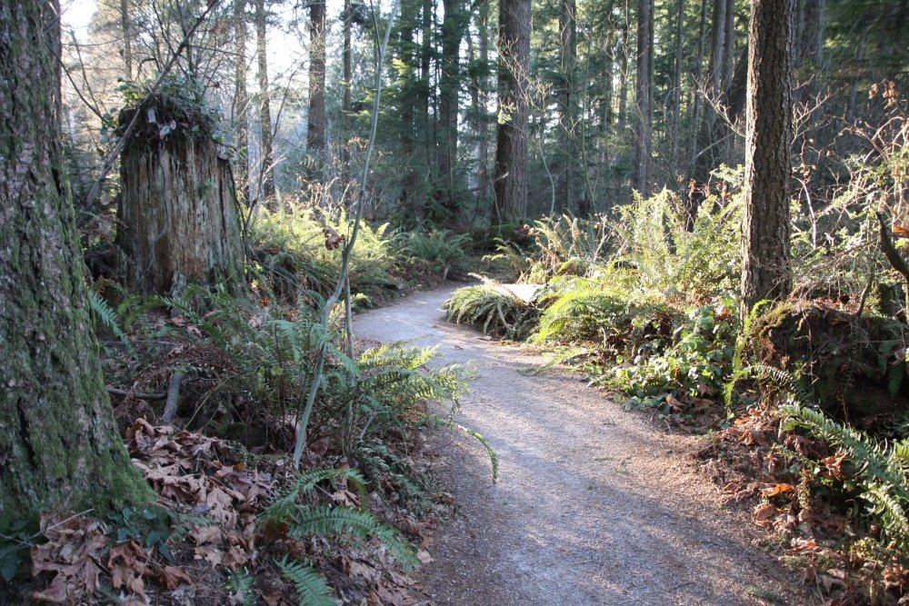
Green Timbers: the Surrey forest that taught BC how to replant
Green Timbers Urban Forest is 560 acres of replanted rainforest in Surrey, the birthplace of BC reforestation, with 10 km of trails and a trout lake.
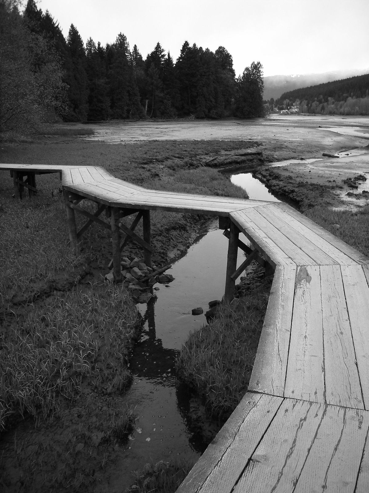
Port Moody's Shoreline Trail: 230,000 walks a year along the inlet
Port Moody's Shoreline Trail runs from Rocky Point Park to Old Orchard Park, with a paved multi-use path and a gravel walking trail with a new boardwalk.